Databricks is shaking up the pharma and life sciences world by making it easy to use powerful maps and location data. By mixing open source tools into their platform, Databricks helps scientists find patterns, speed up research, and make better decisions about things like clinical trial sites or supply routes. Tasks that once took weeks now happen in minutes, with huge amounts of data handled like it’s nothing. Even people who aren’t tech experts can create interactive maps and dashboards, turning tricky science into clear stories and “aha!” moments. Thanks to Databricks and a lively open-source community, the future of medicine looks smarter, faster, and more connected.
How is Databricks transforming geospatial analytics in the pharma and life sciences industries?
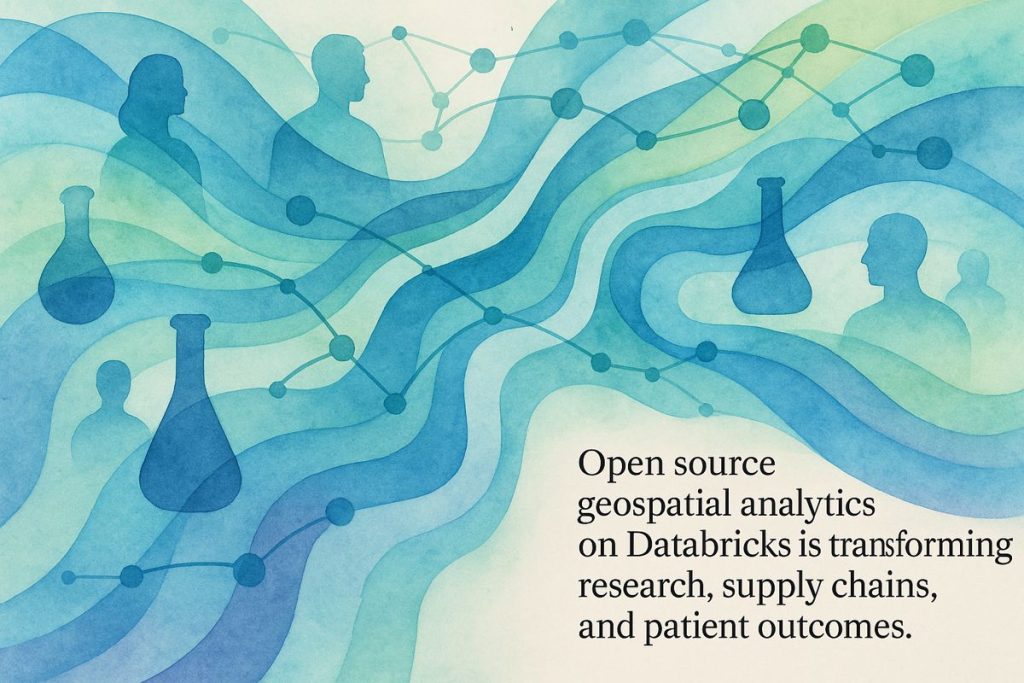
Mapping the Data Lake: A New Geospatial Era Dawns
Let’s begin with a confession: I once tried to explain “geospatial analytics” at a family dinner and was met with a magnificent silence—the kind only punctuated by the clink of a fork on ceramic. But here’s the thing: what Databricks has been pulling off, especially for pharma and life sciences, deserves more than blank stares. It’s as if someone poured espresso into the traditional GIS world, then wired it directly into a hyperspectral datacenter.
Databricks, those tireless champions of the “unified analytics platform,” aren’t just dabbling in spatial data—they’re constructing a palimpsest where disparate datasets, from clinical trial coordinates to anonymized patient flows, mingle and yield insights sharper than Occam’s razor. In 2025, this isn’t marketing fluff. Open source frameworks are interwoven into Databricks’ data lakehouse fabric, letting scientists and analysts alike wrangle petabytes as if they were sorting paperbacks in a cozy (if slightly dusty) library.
What does this mean for life sciences? Fancy improving your clinical trial site placement or optimizing field-force routes? Databricks’ geospatial toolkit isn’t just a toolbox—it’s a full-blown laboratory, complete with whirring centrifuges and the faint tang of isopropanol (that’s your sensory detail for the day). The integration of open source with streaming analytics has turned R&D, supply chain, and epidemiology workflows from lumbering steam engines into sleek maglev trains.
The Open Source Arsenal: SQL, H3, and Beyond
Years ago, I made the rookie mistake of assuming proprietary GIS would always be the status quo. But, as I learned—awkwardly at a conference in Prague—open source is the lifeblood now. Databricks, true to form, has flung open the doors to frameworks like H3, GeoMesa, and JTS. Want to run a point-in-polygon query or a proximity search straight from your SQL editor? No need for arcane Python scripts or vendor lock-in; Databricks SQL, with its Spatial SQL extensions, has you covered.
Let’s get concrete (no, really): you can now run spatial joins directly atop Delta Lake tables, at the scale of millions—or even billions—of records. When you toss in GeoParquet and GeoArrow for storage, plus Delta Live Tables automating ETL pipelines, the tedium of data wrangling melts away. There’s an almost synesthetic pleasure to watching a spatial query run in seconds, the screen flickering like aurora over a polar research station.
Of course, sometimes you hit a wall—my own “bam!” moment came when a schema mismatch crashed a DLT job at 2 a.m. Frustration gave way to curiosity, and a few lines of code later, I’d learned something new. It’s a reminder: nobody gets through the open data wilderness without a few minor bruises.
Machine Learning, Dashboards, and Human Storytelling
Visualization? That’s another minor revolution. Thanks to partnerships with CARTO, even business users with a mild spreadsheet phobia can craft dashboards that shimmer with insight. No more waiting for a GIS specialist to email a static map. Instead, interactive dashboards track everything from R&D site selections to the real-time progress of refrigerated shipments. The old GIS server room—dusty, humming, smelling vaguely of burnt plastic—is slowly becoming a relic.
And here’s a micro-story for the skeptics: I once watched a team of epidemiologists light up as their anonymized patient movement datasets, fed into Databricks, pinpointed the origin of a localized outbreak in hours instead of weeks. The sense of urgency in the room dissolved into a rare, collective “aha!” moment.
Community, #DennysPick, and the Road Ahead
If there’s a leitmotif to this Databricks saga, it’s that the work is never solitary. The open source geospatial community—think of it as a distributed brain trust—drives much of the platform’s progress. Initiatives like #DennysPick, curated by in-the-know practitioners, spotlight emergent libraries and frameworks worth your precious caffeine-fueled attention. It’s almost Socratic, this constant churn of ideas; innovation is everyone’s business now, not just the GIS cognoscenti.
And the industry applications? They’re multiplying faster than CRISPR-edited yeast: supply chain resilience, crop yield forecasting for CNH (see Databricks’ customer stories), logistics route optimization, and real-time fleet tracking that transforms chaos into choreography. Those are just some of the headline acts.
Databricks’ ongoing dance with open standards such as GeoParquet and GeoArrow reduces friction between platforms and teams—what used to be a spaghetti bowl of incompatible formats now feels more like a well-organized bento box. If you ever doubted open source’s future in pharma or life sciences, well… I had to stop